Words by Johanna Harlow
If you’re seeking to liberate yourself from the Silicon Valley grind, a lakeside hike is a splendid way to reset. Among the many scenic trails the Peninsula has to offer, a handful of routes curve alongside bodies of gently lapping water. So step away from it all for a quiet moment with nature. Watch a duck bobbing for pondweed or a dragonfly zipping through an obstacle course of reeds. Help youngsters hunt for tadpoles. Get lost in the rippling reflections of clouds and sky. Take a moment to breathe before returning to the bustle. For a refreshing change of scenery close to home, give one of these picturesque spots a try.
Shoreline Lake Trail
Mountain View
For a relaxed mile-long route, take a leisurely stroll along the north side of Shoreline Lake before looping back around by way of the Bay Trail. The second half of this trail will take you along the slough, a favorite place for birdwatchers seeking to spot skimmers (black and white birds with funky beaks that look kind of like lobster claws).
When you’re done, grab a bite to eat at the lakeside café or spread out a picnic lunch on the lawn. Rent a paddleboat or paddleboard and you can join the ducks and geese out on the water. For those who’d rather view this bustling lake from the sidelines, pick out a bench and soak up the views. Keep in mind that there’s not much shade to help you avoid the noonday heat. shorelinelake.com
+ 3160 N. Shoreline Boulevard, Mountain View
+ Paved and dirt trails
+ Plenty of parking
+ No dogs allowed

Cover Photo: Courtesy of Allan Hack / Photo: Courtesy of David Baron
Foothills Nature Preserve & Boronda Lake
Palo Alto
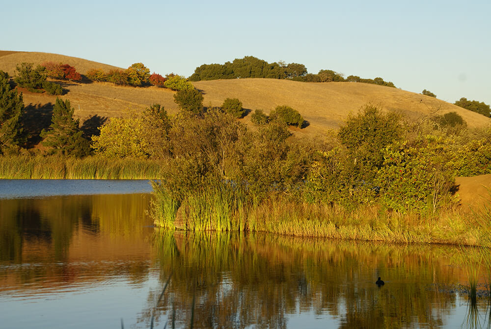
Boronda Lake, cradled by the surrounding hills and lined by bulrushes, is the crowning glory of Palo Alto’s Foothills Nature Preserve. After taking an easy loop around the lake, cross the bridge and investigate the island. Find a bench by the water and keep a lookout for small bass and redear sunfish—or get a closer view from a canoe (rentals available on weekends and holidays from May 1 to October 31).
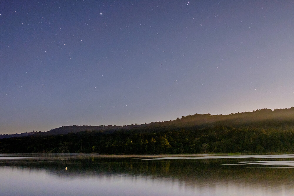
If you’re up for a challenge, take on the steeper inclines of the surrounding trails. With 15 miles of oak-shaded paths to choose from, the 2-mile loop of the Woodrat and Toyan trails will give you a lay of the land. As you continue down the Toyon Trail, keep an eye out for its namesake. The toyon shrub—also known as California holly due to its red, glossy berries—is a favorite among peckish birds. More species for your wildlife bingo card: slender salamanders, dusky-footed woodrats, deer, coyotes, dragonflies and (if you’re lucky) bobcats. Nature walks, full-moon night hikes, astronomy star parties and summer campfire programs are offered throughout the year. cityofpaloalto.org/enjoyonline
+ 11799 Page Mill Road, Los Altos Hills
+ $6 entry fee (free passes available through Palo Alto libraries)
+ Packed dirt trails, hilly terrain
+ Dogs allowed, except for weekends and holidays

Photo: Courtesy of Kristin
Water Dog Lake Loop Trail
Belmont
Tucked into a quiet Belmont neighborhood, this hidden gem of a trail leads to Water Dog Lake. As you hike along this 1.5-mile dirt track, trees shade your way and lizards are bound to dart across your path. Though steep in places, the payoff is elevated outlooks across the Bay, making it well worth the extra effort. For a shorter route, take the half-mile John Brooks Trailhead off of Somerset Drive.
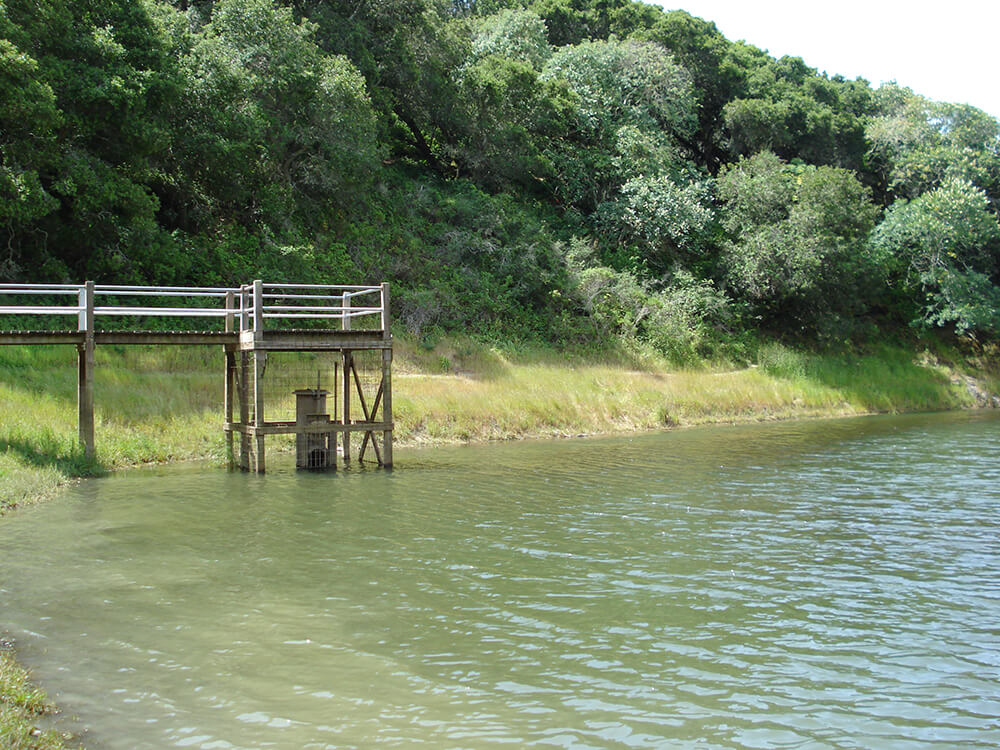
Once you’ve reached the lake, catch your breath at the pier. If you own a fishing rod, it’s also a great place to cast for carp and bass. As you’ve probably guessed by the name, you’re welcome to bring canine companions along. Keep a lookout for mountain bikers and poison oak. belmont.gov
+ Water Dog North Trailhead, Lake Road at Hallmark Drive, Belmont
+ Dogs allowed
+ Dirt trail
+ Street parking

Photo: Courtesy of Bgwashburn
Sawyer Camp Trail by San Andreas Lake & Crystal Springs Reservoir
Redwood City
The sprawling 17-mile Sawyer Camp Trail winds along the San Andreas and Crystal Springs Reservoirs. These shining lakes stretched out before you have long supplied fresh, clean water to the Peninsula and San Francisco. As you follow the paved, mostly flat path running along a rift valley formed by the San Andreas Fault, picture the stagecoaches that once rumbled along this route in the 1800s, carting travelers between Millbrae and Half Moon Bay (or Spanishtown, as it was known back then). You’ll still spot horses and riders out on the trail today. One of San Mateo County’s best-known trails, you’ll also be sharing the road with plenty of other hikers, joggers and cyclists. About midpoint, pay a visit to the over 600-year-old Jepson Laurel, named after a botanist from the 1920s.
And before you head home, consider a stop at nearby Pulgas Water Temple at 56 Cañada Road. The majestic Greek-inspired structure with fluted columns and a tree-lined reflecting pool stands as a monument to the Hetch Hetchy Aqueduct, which carries drinking water from the Sierra Nevada mountains. smcgov.org/parks/sawyer-camp-segment
+ 950 Skyline Boulevard, Burlingame
+ Paved, flat trail
+ Picnic areas at the halfway point and the parking lot
+ No dogs allowed
+ Open to cyclists, hikers, joggers and equestrians


